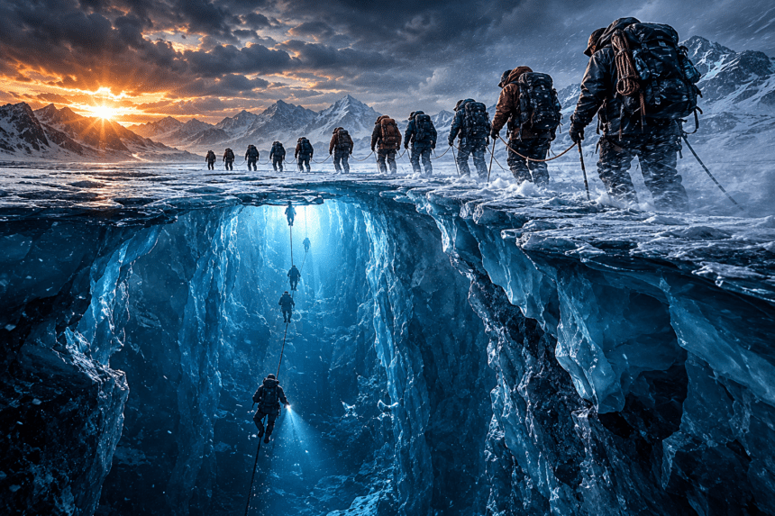
ANTARCTICA: Ten people, eight weeks and nearly 3,000 feet of ice stood between scientists and one of the least understood places on Earth: the dark ocean beneath Thwaites Glacier, the fast-changing Antarctic ice mass often called the “Doomsday Glacier.”
The expedition, involving researchers from the British Antarctic Survey and South Korea’s polar programme, used hot-water drilling to pierce the main body of Thwaites, a glacier so remote and unstable that even getting equipment to the site is a major feat. The goal was simple on paper but brutal in practice: drill through roughly 1,000 metres of ice and lower instruments into seawater beneath the glacier to measure how warm currents are eating away at it from below.
The team did break through. That alone mattered. PBS NewsHour reported from the ice that the 10-person crew had to shovel around 20 tons of snow into hot-water drilling containers before even reaching the point where science could begin. It’s hard to overstate how physical this work is. There are no easy fixes out there, no quick supply runs, no warm backup room waiting nearby. Just weather, machinery and a narrow window before Antarctica shuts the door again.
Once the borehole reached the ocean below, researchers collected rare direct measurements from under the glacier’s main trunk. Early reports said the instruments detected turbulent currents and relatively warm water capable of melting the ice from below — exactly the kind of data scientists need to improve sea-level rise forecasts.
But the mission didn’t end cleanly. The borehole, roughly 3,300 feet deep and about 11 inches wide, began refreezing and shifting before long-term monitoring instruments could be secured. The team eventually had to abandon equipment in the ice and leave the site, according to accounts of the expedition. Frustrating? Absolutely. A failure? Not really. Even a short look beneath Thwaites gives researchers information they’ve been chasing for years.
Thwaites matters because of scale. The glacier is about 120 kilometres, or 80 miles, wide, making it the widest glacier on Earth. Its basin covers roughly 192,000 square kilometres, and ice flowing from Thwaites into the Amundsen Sea already contributes about four percent of global sea-level rise. A wider collapse could raise sea levels by about 65 centimetres over coming centuries, while also destabilising nearby parts of the West Antarctic Ice Sheet.
That is why scientists keep going back, despite the danger and the cost. Thwaites sits at a vulnerable grounding zone, where the glacier lifts off the seabed and becomes a floating ice shelf. Warm ocean water can slide underneath that hinge-like area, melting ice from below in places satellites can’t fully see. Drill holes, underwater robots and direct sensors offer something models badly need: real-world measurements from the place where the damage is happening.
The expedition’s partial setback also tells its own story. Antarctica is not a laboratory with walls. It’s a moving, cracking, freezing system, and Thwaites is among its most difficult corners. The ice closed in before the scientists could finish everything they had planned. Still, they came away with evidence from beneath one of the world’s most consequential glaciers — and that may help coastal cities thousands of miles away understand what kind of future is heading their way.