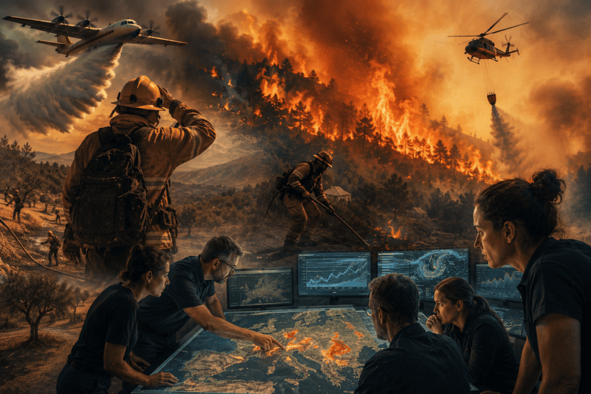
Europe’s traditional wildfire strategy is failing. As heatwaves become more intense and dry seasons stretch longer, the continent is moving away from purely reactive firefighting toward a data-driven, predictive model. Experts are now using satellite imagery, soil moisture sensors, and AI-driven predictive modeling to map out “ignition zones” before a single spark is struck.
The shift is a direct response to the devastating 2022 and 2023 fire seasons, which saw record-breaking land loss across the Mediterranean. Firefighters, once reliant on ground-level observations and emergency calls, are now receiving daily risk maps that identify precisely where vegetation is dry enough to act as tinder.
“We aren’t just looking at where a fire is,” says Dr. Elena Rossi, a wildfire researcher coordinating with EU civil protection units. “We are looking at the ‘fuel load’—the specific density of dry brush and the exact moisture levels in the soil—to tell us where a fire *will* be in 48 hours.”
This approach relies on the Copernicus Emergency Management Service, which processes terabytes of satellite data to track forest health. When the data flags a high-risk area, local authorities can deploy patrols or preemptively clear firebreaks. It turns the landscape into a controlled variable rather than an unpredictable threat.
However, the technology faces a significant hurdle: implementation. While the science is precise, the bureaucratic reality of cross-border forest management remains messy. A forest in Spain doesn’t stop caring about the data just because it crosses a border into Portugal, yet funding and response protocols often do.
Critics argue that data alone won’t stop the burning. Without substantial investment in rural infrastructure—like restoring neglected farmland that once acted as natural fire barriers—the models are essentially just high-tech warnings for inevitable disasters.
The next phase for these experts involves integrating real-time weather stations directly into the AI models to account for “micro-climates.” These are the small, localized wind patterns that often cause a fire to jump containment lines. If they can predict these shifts minutes before they happen, the goal is to give ground crews a crucial window to evacuate or reposition.
For now, the fire season in Europe is no longer a matter of luck. It is a matter of processing power, satellite resolution, and the political will to act on the numbers before the smoke starts rising.