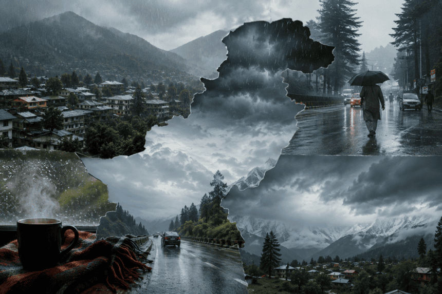
Residents in Pakistan’s upper regions should prepare for a chilly weekend as a fresh westerly wave moves in, bringing rain and snowfall to mountain peaks. The Pakistan Meteorological Department (PMD) confirmed the arrival of this weather system, signaling an end to the recent dry spell in the north.
Expect rain, wind, and thunderstorms across Khyber Pakhtunkhwa, Gilgit-Baltistan, and Kashmir starting Friday night. While the plains remain largely dry, the shift will be stark in higher altitudes. Meteorologists predict light to moderate snowfall on the peaks, which will push mercury levels down across the northern belt.
The drop in temperature isn’t just a seasonal shift; it’s a sharp change for communities still recovering from earlier winter cold snaps. Local administrations in areas like Abbottabad, Mansehra, and Skardu have been advised to monitor road conditions, particularly on mountain passes where light snow could lead to temporary blockages.
This system is expected to persist through Sunday. While the capital, Islamabad, may see some cloud cover and a slight dip in evening temperatures, the bulk of the precipitation will stay concentrated in the hilly districts.
Farmers in the upper regions are watching the forecast closely. While the rain is generally welcomed for soil moisture, any unexpected intensity could impact late-season crops.
The PMD hasn’t issued a formal emergency alert, but they are advising tourists planning weekend trips to the northern areas to pack for winter conditions and check local travel advisories before heading out.
The cold front is expected to move out by Monday morning, leaving behind clear skies and a lingering chill that will settle in across the north for the start of the work week.