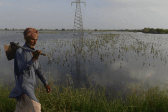
Central Texas is under a state of emergency after torrential rains on July 4 triggered devastating flash floods, claiming at least six lives and forcing mass evacuations.
Kerrville a city located about an hour northwest of San Antonio was hit hardest. Authorities reported that between 5 to 11 inches of rain fell in a matter of hours, rapidly flooding roads and neighborhoods. According to the Kerr County Lead, six fatalities have been confirmed so far. Displaced residents were directed to a nearby Walmart being used as a reunification center.
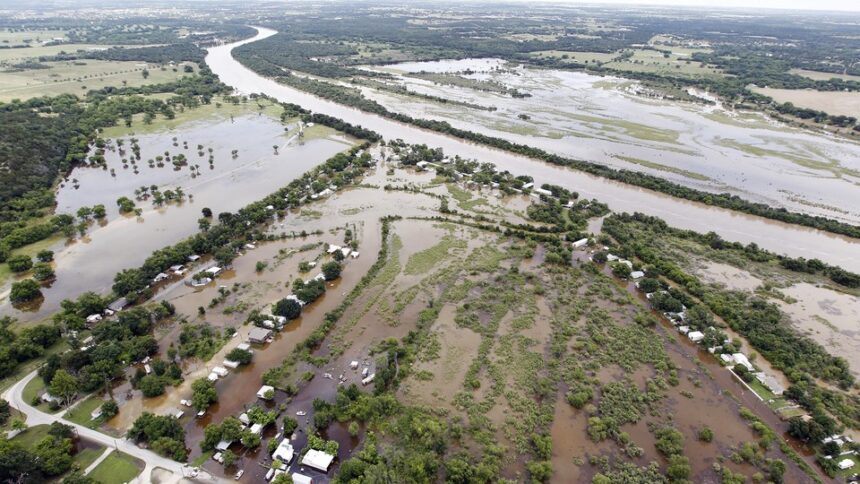
The Guadalupe River surged to its second-highest level on record, prompting police to order immediate evacuations for those living near the riverbanks. The Kerr County Sheriff’s Office and National Weather Service (NWS) strongly advised residents to stay indoors and avoid travel due to submerged roads.
CNN noted that months’ worth of rain fell within hours, overwhelming the region’s drought-hardened soil and causing intense flash flooding. The NWS also highlighted that 2024 saw a record 91 flash flood emergencies the highest since tracking began in 2003.
Experts warn this event is part of a growing trend. Climate change is fueling stronger, wetter storms, according to the Natural Resources Defense Council (NRDC). A warmer atmosphere holds more moisture, leading to heavier rainfall events. Combined with rising sea levels and melting glaciers, the risk of flooding continues to grow.
While not every flood can be directly attributed to climate change, the NRDC emphasizes that global warming amplifies many factors that contribute to flood severity.