November 28, 2025
Web desk
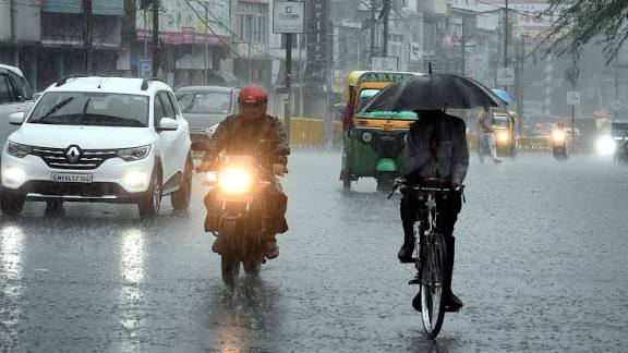
The Met Office has issued yellow weather warnings ahead of the weekend, predicting heavy rain, possible flooding, and transport disruption across England and Wales. As temperatures drop, wintry showers and hill snow are also expected in northern Scotland, the Pennines, and high-altitude areas of Wales. Although severe gales in Scotland eased after Friday, conditions will remain unsettled across much of the UK.
Forecasters say heavy rainfall is likely on Saturday, though uncertainty remains regarding the exact track of the weather system. The yellow warning will be in force from 6am to midnight, with widespread rainfall totals of 20–30mm and isolated spots potentially receiving up to 50mm. Higher ground may even see 60–80mm of rain, increasing the risk of localized flooding.
Strong north to north-easterly winds will develop from Saturday into Sunday, especially in eastern England, where gusts could reach up to 50 mph. The northerly airflow will significantly lower temperatures, with Sunday’s highs ranging only between 3°C and 9°C. Parts of Scotland may experience a “frost day,” with temperatures staying below freezing throughout the day, accompanied by wintry showers.
More wet weather is expected next week, with additional yellow warnings issued for Monday and Tuesday in southern England and Wales. Forecasters warn of continued flood risks and strong south-westerly winds as rain systems move through. Conditions will remain changeable, and updates will continue as models refine the storm track.