September 23, 2025
Web desk
New Jersey is bracing for several rounds of thunderstorms and soaking rain over the next three days, with forecasters warning of potential flooding in low-lying areas. The unsettled pattern kicks off Tuesday afternoon as a warm front pushes through, sparking scattered storms mainly along and north of the I-95 corridor. Highs will climb into the low to mid-80s, running about 5 to 10 degrees above normal, with sticky humidity making conditions feel even warmer.
The National Weather Service has placed the region under a marginal risk for severe storms, meaning isolated damaging wind gusts are possible. Rainfall totals are expected to reach 1 to 2 inches through Thursday, though some spots could pick up even more if storms linger. Forecasters caution that heavy downpours could quickly overwhelm drainage systems, especially in urban areas.
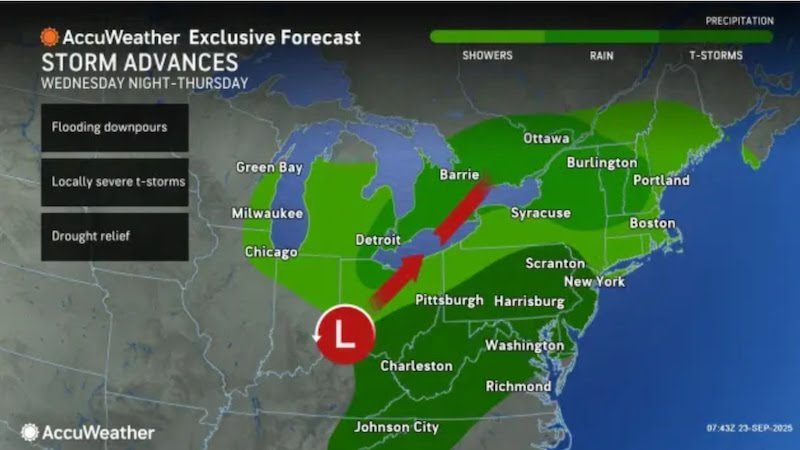
Wednesday looks to be the wettest day of the stretch, with widespread showers and thunderstorms likely from morning into the night. A slow-moving cold front will keep the air muggy while feeding waves of rain across the state. Temperatures will remain unseasonably mild, hovering in the upper 70s to mid-80s despite the clouds and rain.
By Thursday, the cold front should slide south of the region, but showers will still be in play, particularly across central and southern New Jersey. Afternoon highs will settle into the mid-70s to around 80 degrees. Looking toward the weekend, forecasters say confidence in the outlook drops, with the possibility of drier weather if high pressure builds — though any tropical activity in the Atlantic could shift the pattern once again.