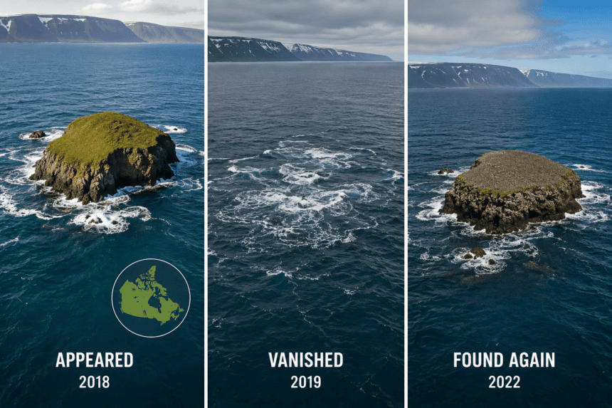
Sandy Island shouldn’t exist. Yet, for over a century, it sat prominently on nautical charts, a substantial landmass in the Coral Sea between Australia and New Caledonia. Then, in 2012, a group of Australian scientists sailed directly through its coordinates and found nothing but deep, blue ocean.
The island’s history reads like a ledger of human error. It first appeared on a British Admiralty chart in 1876, reportedly sighted by the whaling ship *Velocity*. For decades, other mariners noted the island’s presence, cementing its spot on maps used by everyone from the French hydrographic service to Google Earth. It became a “phantom island”—a cartographic error that somehow survived the transition from paper maps to the digital age.
The illusion shattered in November 2012. Researchers from the University of Sydney, aboard the vessel *RV Southern Surveyor*, were mapping seafloor tectonic plates when they reached the spot where Sandy Island was marked. They expected to see land; they saw 1,400 meters of water beneath their keel.
“We were really surprised,” said Dr. Maria Seton, the lead geologist on the expedition. “It’s on Google Earth and other maps, but we went to the sector and there was no island.”
Why did it stay on maps for so long? Experts suggest a “copy-trap”—a practice where mapmakers intentionally insert fake streets or landmarks to catch copyright infringers. If another company copies your map, they copy your fake data, proving the theft. Sandy Island likely started as a genuine mistake by a 19th-century whaler who misidentified a floating pumice raft or a simple cloud bank, and then became a convenient, permanent fixture for map publishers who never bothered to verify the coordinates.
The discovery prompted a swift cleanup. National Geographic and various hydrographic agencies purged the phantom from their databases almost immediately. Google Earth followed suit, erasing the digital ghost that had haunted their servers for years.
Today, the coordinates for Sandy Island point to nothing but the empty expanse of the Coral Sea. It serves as a sharp reminder that even in an era of satellites and GPS, our understanding of the world is only as accurate as the data we choose to trust. Sometimes, the biggest features on the map are simply the ones we imagined were there.