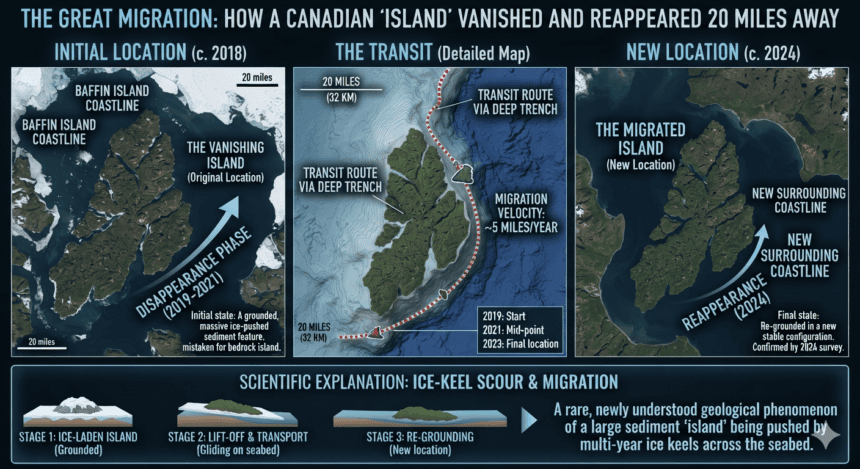
A small, rocky island off the coast of Newfoundland, Canada, has sparked scientific confusion after satellite imagery appeared to show the landmass physically shifting 20 miles from its original position.
For years, the island—known locally as a minor coastal feature—sat quietly in the frigid North Atlantic. Recent satellite data, however, revealed a jarring discrepancy. The island that appeared on updated maps was miles from where maritime charts had placed it for decades.
Geologists are now pointing toward the brutal realities of the Canadian coastline rather than any seismic anomaly. The “disappearance” is a case of mistaken identity fueled by shifting ice and erosion.
The primary culprit is the intense seasonal ice pack. Huge slabs of Arctic ice frequently scour the coastline, dragging massive amounts of sediment and rock along the seafloor. In some cases, the ice can actually “ride up” onto shallow shoals, displacing large boulders or debris that, from a satellite’s high-altitude perspective, look exactly like a small island.
“It’s a classic error of resolution and environmental change,” said one coastal surveyor familiar with the region’s volatile geography. “When you rely on satellite imagery over ground-truthed maritime charts, you’re looking at a snapshot. If the ice moves a massive pile of rock, or if tidal surges change the sediment profile, the map you’re holding is already obsolete.”
The confusion was compounded by the region’s extreme tidal range. At high tide, the original island was barely visible, often appearing as nothing more than a wave-swept reef. When the satellite snapped its photo during a low-tide event 20 miles away, it captured a different, unrelated set of rocks that caught the light similarly.
The Canadian Hydrographic Service typically manages these discrepancies by prioritizing sonar data over optical satellite imagery. They rely on “bottom-up” mapping—using ships to scan the seafloor—because satellite photos often struggle to distinguish between a permanent landmass, a floating ice floe, and a temporary sandbar.
For sailors and local fishermen, the “vanishing” island is less of a mystery and more of a routine hazard. The North Atlantic floor is in constant flux, reshaped by currents that move tons of rock every season.
The island didn’t travel; it was simply a victim of a changing coastline and a digital map that couldn’t keep pace with the tide. As mapping technology becomes more reliant on AI-processed satellite imagery, experts warn that these “ghost islands” will likely appear more frequently—at least until the next high tide clears the confusion.