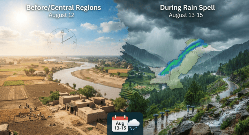
The Pakistan Meteorological Department (PMD) has issued an alert for a new series of rain, wind, and thundershowers set to hit the country’s upper and central regions starting August 13. The spell is expected to persist through August 15, potentially disrupting daily life in several districts.
Moist currents from the Arabian Sea are moving into these areas, colliding with a westerly wave currently affecting the upper parts of the country. This weather pattern will likely bring relief from the recent heat but carries risks of urban flooding in low-lying areas.
Islamabad, Rawalpindi, and Lahore are in the direct path of the incoming system. Residents in these cities should brace for intermittent showers, which meteorologists warn could trigger localized water accumulation in drainage channels.
The forecast extends across much of Punjab and Khyber Pakhtunkhwa. In the northern mountainous regions, the Met Office has flagged the possibility of landslides. Travelers planning trips to Galiyat, Murree, or Kaghan-Naran should monitor local weather updates closely, as heavy bursts could make roads treacherous over the next 72 hours.
In central Punjab and parts of Balochistan, the rainfall will likely be more scattered. While the precipitation is expected to aid agricultural sectors struggling with dry spells, the intensity remains a concern for municipal infrastructure.
Disaster management authorities have already been alerted to the potential for flash flooding in nullahs. Provincial departments are shifting into a monitoring phase, tasked with keeping emergency response teams ready should the intensity of the downpours exceed current projections.
With the monsoon season at its peak, the PMD suggests that citizens avoid unnecessary travel during heavy rainfall and stay clear of power lines and unstable structures. The system is expected to dissipate by the evening of August 15, leaving behind cooler temperatures across the northern belt.