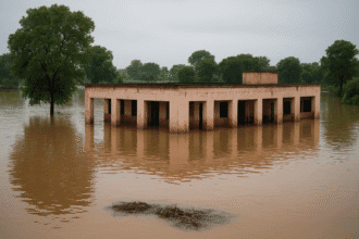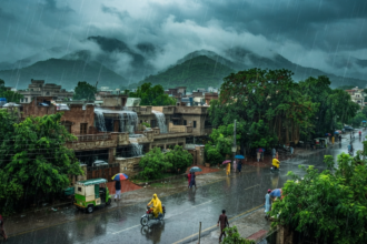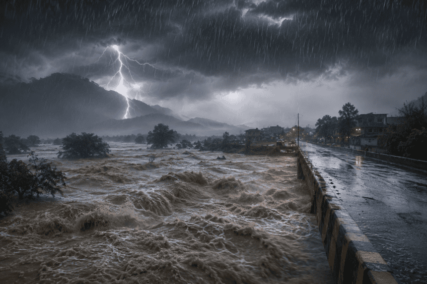
The Met Office has issued a high-alert warning for widespread heavy rainfall, signaling an imminent risk of flash flooding across key river basins. Meteorologists expect the weather system to intensify over the next 48 hours, threatening low-lying areas with sudden water surges.
This isn’t just another routine rainy spell. Officials at the National Flood Forecasting Division are tracking a low-pressure area currently hovering over the northern regions. They expect the precipitation to move southward, hitting urban centers and rural agricultural belts with equal force.
“We are looking at high-intensity downpours that the current drainage infrastructure simply isn’t built to handle,” a senior forecaster told reporters this morning. “If the water stays at these levels, we’re looking at significant overflow in the nullahs by tomorrow evening.”
The immediate concern is the rapid rise in river levels. Districts situated along the banks are already seeing water marks creep upward, prompting local administrations to mobilize rescue teams. Residents in these zones have been advised to pack emergency kits and identify higher ground, though many remain skeptical, citing past warnings that didn’t materialize into major disasters.
This cycle of intense weather is becoming a recurring theme. Last year’s monsoon season left thousands displaced and destroyed vast tracts of standing crops. While the Met Office insists this system is distinct from previous years, the lack of long-term flood mitigation infrastructure means the margin for error remains razor-thin.
The government has directed provincial disaster management authorities to remain on standby. Whether these departments can coordinate effectively before the first major breach occurs remains the primary concern for those living in the direct line of the storm.
As the sky darkens, the focus shifts from meteorological data to the reality on the ground: for many, the next few hours will determine if they keep their homes or face another season of recovery.