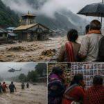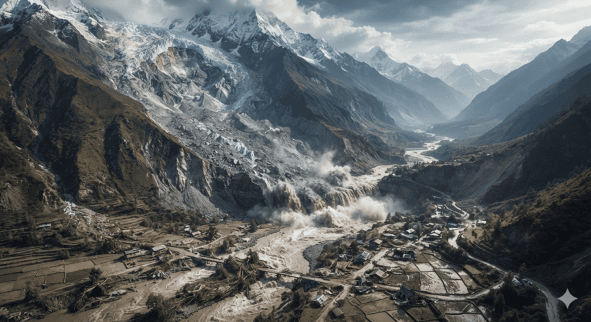
A catastrophic combination of a rock landslide and a subsequent glacial collapse likely triggered the devastating floods that swept through Nepal and Tibet this year. Geologists and climate researchers have identified the specific geological trigger, shifting the focus from simple rainfall to the destabilization of high-altitude mountain slopes.
The disaster centers on the catastrophic failure of a mountain ridge. When the rock mass gave way, it slammed into a glacier, destabilizing the ice and sending a massive surge of water, debris, and sediment downstream. This mechanism—often called a cascading failure—left communities in the path of the torrent with almost no warning.
“We aren’t just looking at heavy rain anymore,” said Dr. Sonam Wangdi, a lead researcher involved in the regional assessment. “The mountains are losing their structural integrity. When a rock slope fails at that altitude, the ice doesn’t just melt; it shatters.”
Satellite imagery taken before and after the event shows a distinct “scar” on the mountain face where the initial landslide occurred. The force of the impact breached natural containment barriers, turning a standard seasonal flow into a destructive surge that wiped out bridges, roads, and power infrastructure in the border regions.
Local authorities in Nepal initially pointed to record-breaking monsoon patterns. While rainfall levels were indeed high, the geological data suggests the flooding would have been significantly less severe without the secondary collapse of the glacial mass. The incident highlights a dangerous, emerging reality: warming temperatures are thawing the permafrost that holds these high-altitude rocks in place.
For residents in the affected valleys, the danger is no longer just about the weather forecast. It’s about the structural stability of the peaks above them. Engineers currently on-site are struggling to assess whether remaining glacial sections are at risk of a similar collapse, as the landscape remains volatile and prone to secondary rockfalls.
The findings have forced a rethink of regional disaster management. Early warning systems, previously designed to track water levels in rivers, are now being redesigned to detect seismic shifts in the high mountains. Until those systems are in place, the region remains at the mercy of a landscape that is increasingly prone to sudden, violent shifts.