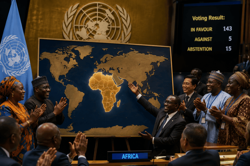
The United Nations General Assembly has officially endorsed a sweeping African-led resolution aimed at revising the standard world map used by international bodies. The move, passed late Tuesday, signals a major push to address long-standing geographical distortions, specifically regarding the relative size of landmasses under the traditional Mercator projection.
For decades, the Mercator projection—a 16th-century map design—has served as the global standard. Critics have long argued it artificially inflates the size of Northern Hemisphere nations while shrinking the African continent, creating a subconscious bias in how the world perceives geopolitical weight and resource distribution.
“Maps are not just lines on paper; they are political statements,” said Dr. Amina Jallow, a lead consultant for the African Union’s delegation. “We are correcting a visual narrative that has minimized the global south for centuries.”
The resolution mandates the creation of a technical committee tasked with selecting a new “equitable projection” for official U.N. documents, digital platforms, and educational materials. The committee has until the next General Assembly session to finalize a standard that adheres to the Gall-Peters or similar area-accurate projections.
The decision hasn’t been without friction. Several Western delegations expressed concerns over the costs associated with updating millions of physical and digital maps. The U.S. and U.K. representatives abstained from the final vote, noting that while the sentiment of “geographical accuracy” is valid, the logistical burden on global infrastructure remains unclear.
Despite the pushback, the momentum behind the proposal proved insurmountable. Developing nations argued that the shift is a matter of dignity and modern accuracy rather than mere aesthetics.
The U.N. Secretariat is expected to begin the transition in early 2025. For now, the move forces a fundamental question: how much of our global perspective is dictated by a map designed in 1569? The answer, starting next year, will be drawn to scale.