The Pakistan Meteorological Department (PMD) has warned of an extended spell of rain and thundershowers set to sweep across the country’s upper and central regions starting this week. A strong westerly wave is expected to enter the northern areas by Tuesday, bringing a shift in weather that will likely persist through the weekend.
Forecasters expect the heaviest precipitation in Khyber Pakhtunkhwa, Gilgit-Baltistan, and Kashmir, with potential for localized flooding in low-lying areas. In Punjab, the system will bring widespread rain to central districts, breaking the current dry spell but raising concerns for the standing wheat crop.
“Farmers need to exercise caution,” a senior meteorologist at the PMD told reporters on Monday. “The timing of this system could impact harvesting, particularly in districts where the crop is nearing maturity.”
In Islamabad and Rawalpindi, residents should prepare for intermittent downpours and strong winds. The capital’s administration has already alerted the Water and Sanitation Agency (WASA) to remain on standby, citing the risk of urban flooding if the intensity of the downpours exceeds current drainage capacity.
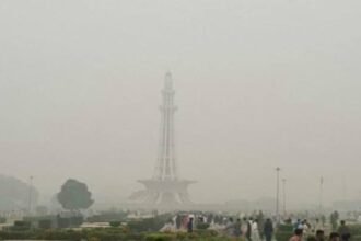
Temperatures are expected to drop significantly across these regions, marking a sharp departure from the recent warming trend. While the rainfall will likely improve air quality and provide relief from the heat, the Met Office has cautioned travelers against attempting to traverse mountainous passes in northern areas, where the risk of landslides remains elevated during heavy precipitation.
This system follows a period of erratic weather patterns that have disrupted seasonal norms across the country. While the PMD continues to track the movement of the westerly wave, disaster management authorities have been instructed to keep rescue teams ready in high-risk zones.
The rain is expected to begin tapering off by Sunday, leaving behind cooler air and a clearer sky for the start of the following week.