El Niño’s influence is significantly altering storm patterns across the United States, creating a stark contrast between the northern and southern regions. While the Pacific Northwest is experiencing a more active and severe storm season, the Southwest, typically battered by storms during El Niño years, is seeing a relative lull.
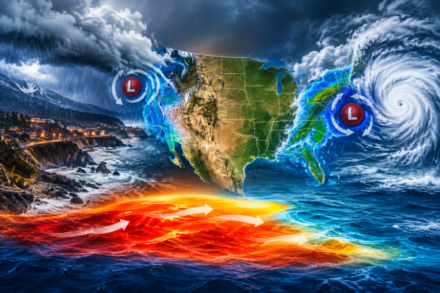
This divergence is attributed to a persistent atmospheric river that has been channeling moisture from the Pacific directly into the Pacific Northwest. This phenomenon, amplified by El Niño’s warmer ocean temperatures, has led to a series of powerful storms delivering heavy rainfall and snow to states like Washington, Oregon, and Northern California. The region has already seen record-breaking precipitation and has grappled with widespread flooding and mudslides.
Conversely, the Southwest, including California, Arizona, and Nevada, is not receiving the anticipated deluge. While El Niño usually strengthens the subtropical jet stream, steering storms inland, this year’s pattern has largely bypassed the region. This has exacerbated drought conditions in some areas, raising concerns about water supply and wildfire risk later in the year.
Scientists point to the specific configuration of El Niño this year, which has favored a more northerly track for Pacific storms. “The typical El Niño pattern would bring a strong ‘wet’ signal to Southern California,” explained Dr. Sarah Chen, a climatologist at the Scripps Institution of Oceanography. “However, the atmospheric dynamics this year have been unusual, steering that moisture further north.”
The implications of these contrasting storm impacts are considerable. For the Pacific Northwest, the increased precipitation offers relief to drought-stricken areas and boosts snowpack crucial for summer water reserves. However, it also presents challenges related to infrastructure damage and public safety. For the Southwest, the lack of expected rainfall intensifies existing water management issues and heightens the urgency for conservation efforts. Meteorologists are closely monitoring the situation, as the remainder of the storm season could still bring shifts, though current projections suggest the established patterns are likely to persist for some time.