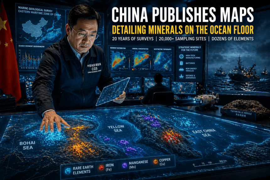
China has released its first official geochemical atlas of seabed sediments in its eastern waters, a move Beijing is presenting as a scientific breakthrough, but one that also lands in the middle of a much wider global scramble for critical minerals. The newly published maps draw on nearly 20 years of marine geological surveys across the Bohai Sea, Yellow Sea, and East China Sea, and are meant to show where key elements are concentrated beneath the seafloor.
According to Chinese state and official-linked reports, the atlas charts the location, concentration, and distribution patterns of dozens of elements in seabed sediments, including rare earths, iron, manganese, and copper. Researchers say the project combined sediment analysis with data from more than 20,000 sampling sites, producing what Chinese outlets describe as the country’s most extensive seabed geochemical dataset yet for its eastern maritime zone.
On paper, the Chinese argument is straightforward: better maps mean better planning. Officials say the dataset can support coastal and marine spatial planning, ecological protection and future resource exploration. The China Geological Survey has also framed the work as filling a long-standing gap in the systematic mapping of seabed sediments in those waters.
Still, this is not just a science story. Not really.
The release comes at a time when governments are looking harder at the ocean floor as a possible source of strategic minerals used in high-tech manufacturing, batteries and other industrial supply chains. Reporting on the atlas has linked it to a broader regional race, especially as Japan also pushes forward with efforts tied to deep-sea rare earth resources. That makes China’s publication more than a technical update; it is also a statement about long-term resource positioning.
There is another layer here, and it’s the one that tends to make security analysts sit up. A report published in March said China has been conducting a broad undersea mapping and monitoring effort across the Pacific, Indian and Arctic oceans, with naval experts arguing that this kind of data collection could also be valuable for submarine warfare. That does not mean the newly released mineral maps are military documents. But it does underline a basic reality of seabed knowledge: the same surveys that help identify resources can also deepen a state’s understanding of underwater terrain, currents and acoustic conditions.
Chinese coverage of the atlas has emphasized civilian uses and scientific value. Researchers cited in state media said the distribution of elements is shaped by factors such as sediment grain size, ocean-current scouring and localized hydrothermal activity near tectonic boundaries or volcanic zones. In other words, the maps are not simply treasure charts; they are also a record of how geology, chemistry and ocean dynamics interact over time.
Even so, turning mapped mineral potential into actual commercial supply is a very different challenge. Deep-sea extraction remains expensive, technically difficult and politically contentious, especially because of environmental concerns over marine ecosystems that remain poorly understood. So for now, China’s new atlas looks less like the start of immediate mining and more like a long game: gather the data first, understand the terrain better than anyone else, and keep your options open.
That may be the most important takeaway. Beijing is not merely saying it knows more about what lies under its eastern seas. It is showing that, in a world increasingly anxious about critical minerals, information itself has become a strategic asset.