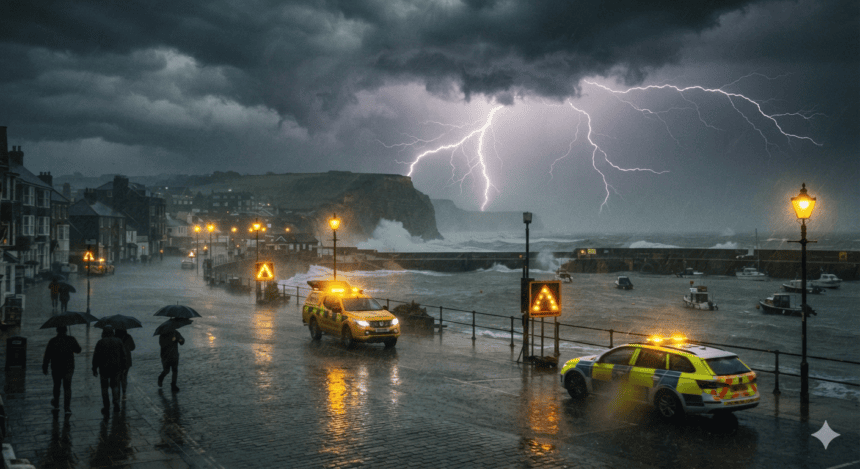
The Met Office has extended yellow weather warnings across swaths of the UK as heavy rain and lightning continue to disrupt travel and local infrastructure. Forecasters expect the current instability to persist through the evening, with the potential for localized flooding in areas already saturated by recent rainfall.
The warnings cover large parts of England and Wales, where localized downpours are dumping up to 40mm of rain in under an hour. For commuters, this means one thing: widespread delays. Train operators have already reported signaling failures caused by lightning strikes, leaving passengers stranded at major hubs during the afternoon rush.
“The ground is already holding a lot of water,” one Met Office forecaster noted during a briefing earlier today. “These aren’t just garden-variety showers; the intensity is high enough to overwhelm drainage systems in minutes.”
The risk isn’t just about the rain. Frequent lightning strikes have been reported across the Midlands, raising concerns about power outages. National Grid engineers are on standby, though they warn that rural areas may face longer response times if overhead lines are damaged by falling debris or direct strikes.
For homeowners in flood-prone zones, the Environment Agency has issued several low-level alerts. While major river breaches aren’t currently expected, the agency is advising residents to move vehicles to higher ground and clear gutters to prevent surface water runoff from entering properties.
The immediate forecast offers little relief. The low-pressure system responsible for the deluge is moving slowly, meaning the heaviest rain will linger over the same locations for hours rather than passing through quickly.
While temperatures remain unseasonably mild, the humidity is fueling the intensity of these storms. The Met Office expects the warnings to expire by early tomorrow morning, but for those dealing with flooded roads and power surges tonight, the cleanup is only beginning.